|
|
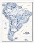
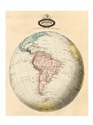
South America in Shades of Blue
Fine-Art Print
12" x 15"
$35.99
Ships within 2-3 days
|
|
|
|
|
|
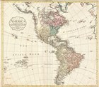
Atlas
Fine-Art Print
24" x 20"
$56.99
Ships within 2-4 days
|
|
|
|
|
|
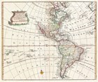
North and South America
Fine-Art Print
19" x 13"
$29.99
Ships within 5-7 days
|
|
|
|
|
|
North and South America
Fine-Art Print
26" x 20"
$67.99
Ships within 5-7 days
|
|
|
|

|
|
Mexico
Fine-Art Print
16" x 20"
$44.99
Ships within 3-4 days
|
|
|
|
|
|
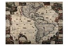
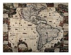
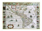
Map of North and South America, Joan Bleau, 1630
Fine-Art Print
24" x 18"
$53.99
Ships within 3-5 days
|
|
|
|
|
|
Close-up of a map of South America
Fine-Art Print
24" x 18"
$53.99
Ships within 3-5 days
|
|
|
|
|
|
Map of Mexico 1847
Fine-Art Print
24" x 18"
$58.99
Ships within 2-3 days
|
|
|
|

|
|
Map with Flag Overlay Jamaica
Fine-Art Print
10" x 8"
$23.99
Ships within 2-3 days
|
|
|
|

|
|
Map with Flag Overlay Costa Rica
Fine-Art Print
10" x 8"
$23.99
Ships within 2-3 days
|
|
|
|

|
|
Map with Flag Overlay Brazil
Fine-Art Print
10" x 8"
$23.99
Ships within 2-3 days
|
|
|
|
|
|
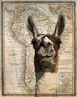
South America Llama Map
Fine-Art Print
16" x 20"
$48.99
Ships within 2-3 days
|
|
|
|
|
|
1747 Bowen Map of North America and South America
Fine-Art Print
13" x 11"
$29.99
Ships within 2-3 days
|
|
|
|
|
|
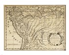
1795 D'Anville Wall Map of South America
Fine-Art Print
12" x 10"
$29.99
Ships within 2-3 days
|
|
|
|
|
|
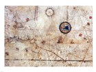
Vesconte Maggiolo. World chart, from eastern coasts of America to India
Fine-Art Print
24" x 18"
$58.99
Ships within 2-3 days
|
|
|
|
|
|
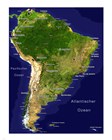
South America - Satellite Orthographic Political Map
Fine-Art Print
16" x 20"
$48.99
Ships within 2-3 days
|
|
|
|
|
|
South America relief location map
Fine-Art Print
8" x 10"
$23.99
Ships within 2-3 days
|
|
|
|
|
|
Suedamerika 1905
Fine-Art Print
20" x 16"
$48.99
Ships within 2-3 days
|
|
|
|
|
|
Syd-Amerika. Flod- och bergs system
Fine-Art Print
18" x 24"
$58.99
Ships within 2-3 days
|
|
|
|
|
|
Map of South America
Fine-Art Print
8" x 10"
$23.99
Ships within 2-3 days
|
|
|
|
|
|
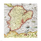
Map of South America 1575
Fine-Art Print
12" x 12"
$29.99
Ships within 2-3 days
|
|
|
|
|
|
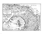
Map of the Isthmus of Darien and Panama
Fine-Art Print
10" x 8"
$23.99
Ships within 2-3 days
|
|
|
|
|
|
Map of South America
Fine-Art Print
18" x 24"
$58.99
Ships within 2-3 days
|
|
|
|
|
|
Mapa Per Sanson
Fine-Art Print
24" x 19"
$60.99
Ships within 2-3 days
|
|
|
|
|
|
Pinkerton 1812 Paraguay
Fine-Art Print
10" x 8"
$23.99
Ships within 2-3 days
|
|
|
|
|
|
South America
Fine-Art Print
8" x 10"
$23.99
Ships within 2-3 days
|
|
|
|
|
|
Stielers Hand atlas 1891
Fine-Art Print
20" x 16"
$48.99
Ships within 2-3 days
|
|
|
|
|
|
1862 Perthes map of South America
Fine-Art Print
24" x 18"
$58.99
Ships within 2-3 days
|
|
|
|
