
|
|
Map of Carolina, Florida & the Bahama Islands
Fine-Art Print
24" x 16"
$56.99
Ships within 2-3 days
|
|
|
|

|
|
Illustrated State-Illinois
Fine-Art Print
16" x 20"
$50.99
Ships within 2-3 days
|
|
|
|

|
|
Illustrated State-Virginia
Fine-Art Print
20" x 16"
$50.99
Ships within 2-3 days
|
|
|
|

|
|
Illustrated State-California
Fine-Art Print
16" x 20"
$50.99
Ships within 2-3 days
|
|
|
|

|
|
Illustrated State-Texas
Fine-Art Print
16" x 20"
$50.99
Ships within 2-3 days
|
|
|
|

|
|
Illustrated State-New York
Fine-Art Print
16" x 20"
$50.99
Ships within 2-3 days
|
|
|
|

|
|
Illustrated State-Florida
Fine-Art Print
16" x 20"
$50.99
Ships within 2-3 days
|
|
|
|
|
|
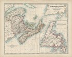
Map of Canada
Fine-Art Print
20" x 16"
$50.99
Ships within 2-3 days
|
|
|
|
|
|
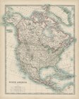
Map of North America
Fine-Art Print
16" x 20"
$50.99
Ships within 2-3 days
|
|
|
|
|
|
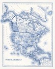
North America in Shades of Blue
Fine-Art Print
12" x 15"
$35.99
Ships within 2-3 days
|
|
|
|
|
|
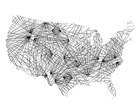
United Matrix
Fine-Art Print
15" x 12"
$35.99
Ships within 2-3 days
|
|
|
|
|
|
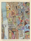
Modern Map of New York I
Fine-Art Print
18" x 24"
$60.99
Ships within 2-3 days
|
|
|
|
|
|
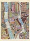
Modern Map of New York II
Fine-Art Print
18" x 24"
$60.99
Ships within 2-3 days
|
|
|
|

|
|
Modern Map of New York III
Fine-Art Print
8" x 20"
$33.99
Ships within 2-3 days
|
|
|
|

|
|
Travel Silhouette II
Fine-Art Print
12" x 12"
$31.99
Ships within 2-3 days
|
|
|
|

|
|
New York My Story
Fine-Art Print
12" x 12"
$27.99
Ships within 3-5 days
|
|
|
|

|
|
Texas My Story
Fine-Art Print
12" x 12"
$27.99
Ships within 3-5 days
|
|
|
|

|
|
North Carolina
Fine-Art Print
16" x 12"
$32.99
Ships within 3-5 days
|
|
|
|

|
|
Natural US Map
Fine-Art Print
24" x 16"
$50.99
Ships within 2-4 days
|
|
|
|

|
|
Cobalt US Map
Fine-Art Print
24" x 16"
$50.99
Ships within 2-4 days
|
|
|
|

|
|
God Bless America
Fine-Art Print
18" x 12"
$34.99
Ships within 2-4 days
|
|
|
|

|
|
USA
Fine-Art Print
18" x 12"
$34.99
Ships within 2-4 days
|
|
|
|
|
|
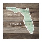
Florida Rustic Map
Fine-Art Print
14" x 14"
$32.99
Ships within 2-4 days
|
|
|
|
|
|
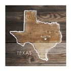
Texas Rustic Map
Fine-Art Print
14" x 14"
$32.99
Ships within 2-4 days
|
|
|
|
|
|
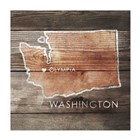
Washington Rustic Map
Fine-Art Print
14" x 14"
$32.99
Ships within 2-4 days
|
|
|
|
|
|
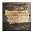
Montana Rustic Map
Fine-Art Print
14" x 14"
$32.99
Ships within 2-4 days
|
|
|
|
|
|
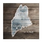
Maine Rustic Map
Fine-Art Print
14" x 14"
$32.99
Ships within 2-4 days
|
|
|
|
|
|
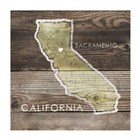
California Rustic Map
Fine-Art Print
14" x 14"
$32.99
Ships within 2-4 days
|
|
|
|

